NASA has released a free-air gravity map of the Moon: “If the Moon were a perfectly smooth sphere of uniform density, the gravity map would be a single, featureless color, indicating that the force of gravity at a given elevation was the same everywhere. But like other rocky bodies in the solar system, including Earth, the Moon has both a bumpy surface and a lumpy interior. … The free-air gravity map shows deviations from the mean, the gravity that a cueball Moon would have.” Gravity data comes from the GRAIL mission, with the digital elevation model provided by the Lunar Reconnaissance Orbiter laser altimeter. Image credit: NASA’s Goddard Goddard Space Flight Center Scientific Visualization Studio.
Tag: Moon
New Moon Globe Released
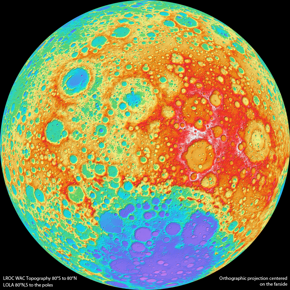
Calling it “the first entirely new globe of the lunar surface in more than 40 years,” Sky and Telescope has announced a new Moon globe based on Lunar Reconnaissance Orbiter imagery. Replogle’s Moon globe has been the standard for decades, but it’s based on 1960s-era charts and, as I said in my review three years ago, doesn’t have a lot of contrast and doesn’t look much like the Moon. Mind you, the new globe costs almost twice as much.
More Moon Maps
Chinese scientists have released a high-resolution map of the Moon based on images from the Chang’e 2 spacecraft; the maps are at a resolution of seven metres (MoonViews, Universe Today). Phil Stooke compares the Chang’e 2 images with those from the Lunar Reconnaissance Orbiter Camera (LROC). Meanwhile, and speaking of the LROC, Jeffrey Ambroziak is making 3D anaglyph maps based on LROC data; he’s launched a Kickstarter campaign to create a 3D digital map of the entire Moon.
A New Lunar Topo Map
A new topographic map of the Moon from the Lunar Reconnaissance Orbiter: “Today the LROC team releases Version 1 of the Wide Angle Camera (WAC) topographic map of the Moon. This amazing map shows you the ups and downs over nearly the entire Moon, at a scale of 100 meters across the surface, and 20 meters or better vertically.” Late last year lunar topo maps were released that were based on laser altimeter data; presumably the WAC data, based on stereo observations, is better. Image credit: NASA/