Skip to content

The Map Room

  • About
    • Contact
    • Privacy Policy
  • Archives
  • Books
    • Map Books of 2025
    • Book Reviews (2011-present)
    • Older Book Reviews (2006-2011)
  • Extras
    • Blogroll
    • Fantasy Maps
    • Fiction About Maps
    • Publications
  • Subscribe & Follow
    • Email Digest
    • Bluesky
    • Facebook Page
    • Mastodon
    • RSS Feed
  • Patreon

xkcd’s British Map

Published on 14 November 2016 by Jonathan Crowe

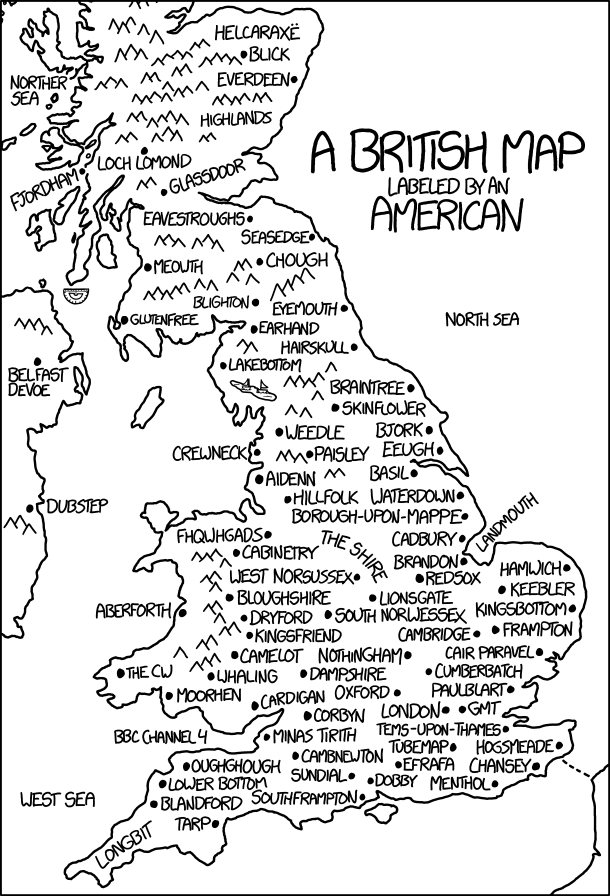
Today’s xkcd is a British map labelled by an American. It’s another one of those where the longer you stare at it, the more it hurts. Randall’s messing with us again.

Image•Categories Art•Tags comics, funny, UK, xkcd

Post navigation

Previous The British Library on Fantasy Maps
Next Atlas of Design, Volume 3

About The Map Room

The Map Room is a blog about maps by Jonathan Crowe. Since 2003 he has covered everything from antique map collecting to the latest in geospatial technology. More about The Map Room.

Subscribe and Follow

  • Email Digest
  • Bluesky
  • Facebook
  • Mastodon
  • RSS Feed

Support The Map Room

The Map Room is now ad-free thanks to the support of readers like you! Join them by becoming a member at Patreon.

Affiliate Disclosure

The Map Room participates in the Amazon, Bookshop and iTunes affiliate programs. IĀ earn income from qualifying purchases made through links on this website.

A collage of book covers: some books about maps scheduled to appear in 2025.

Archives by Month

Categories

Tags

1500s (46) 1800s (33) Apple (50) Apple Maps (79) books (324) Canada (106) cities (174) climate change (47) comics (40) coronavirus (50) COVID-19 (52) data visualizations (34) disease (42) elections (53) exhibitions (145) fantasy map design (37) fantasy maps (133) fun (42) funny (80) global warming (36) globes (64) Google (68) Google Maps (121) history of cartography (58) indigenous (33) iOS (60) iPhone (43) libraries (134) London (65) map design (45) map projections (55) NASA (64) New York City (42) New York Times (39) OpenStreetMap (35) pictorial maps (38) railroads (35) railways (35) satellite (40) satellite imagery (52) tube (32) UK (75) USA (185) wildfires (38) xkcd (40)
Privacy & Cookies: This site uses cookies. By continuing to use this website, you agree to their use.

To find out more, including how to control cookies, see here: Cookie Policy
Proudly powered by WordPress | Theme: Toujours by Automattic.